These Are the States Most Likely to Be Hit by Tsunamis
An eruption of the underwater Hunga-Tonga-Hunga-Ha’apai volcano caused tsunami warnings throughout much of the Pacific, including the west coast of the United States. It was a reminder of how dangerous these huge surges of water can be. On Christmas 2004, an earthquake under the Indian ocean triggered waves of water that killed over 230,000 people, most in a matter of hours.
Some sophisticated systems have been created to protect people from tsunamis. The National Oceanic and Atmospheric Administration (NOAA) Tsunami Program runs the U.S. Tsunami Warning System. Its National Tsunami Warning Center covers the United States and Canada. The Pacific Tsunami Warning Center covers Hawaii and much of the Pacific.
According to the NOAA, “When an earthquake occurs, seismic networks provide information about its location, depth, and magnitude to help the warning centers determine if it may have generated a tsunami and if they should issue tsunami messages.” However, the most powerful tsunamis can produce waves that race at 500 miles per hour and create surges that are 100 feet high. At this force, the water could move well inland.
The National Tsunami Hazard Mitigation Program has compiled detailed maps of areas of the United States that are at risk of tsunami danger. The point of the program is that “all U.S. ocean coasts can be impacted by tsunamis.” The program also produces information on how people can evacuate in the event of a tsunami.
Weather.gov keeps a tsunami map based on data from the National Tsunami Hazard Mitigation Program. The U.S. territories covered are Guam, American Samoa, Puerto Rico, the U.S. Virgin Islands and the Northern Mariana Islands. The information includes both areas that could be inundated by water and evacuation maps.
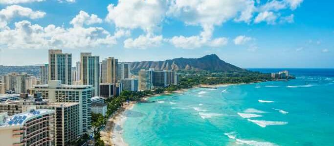
Outside the continental United States, both Alaska and Hawaii are at risk, according to the analysis. Other states at risk include Alabama, California, Connecticut, Delaware, Florida, Georgia, Louisiana, Maine, Maryland, Massachusetts, Mississippi, New Jersey, New Hampshire, New York, North Carolina, Oregon, Rhode Island, South Carolina, Texas, Virginia and Washington.
Click here to read about the worst floods in American history.
Get Our Free Investment Newsletter
Source: Read Full Article